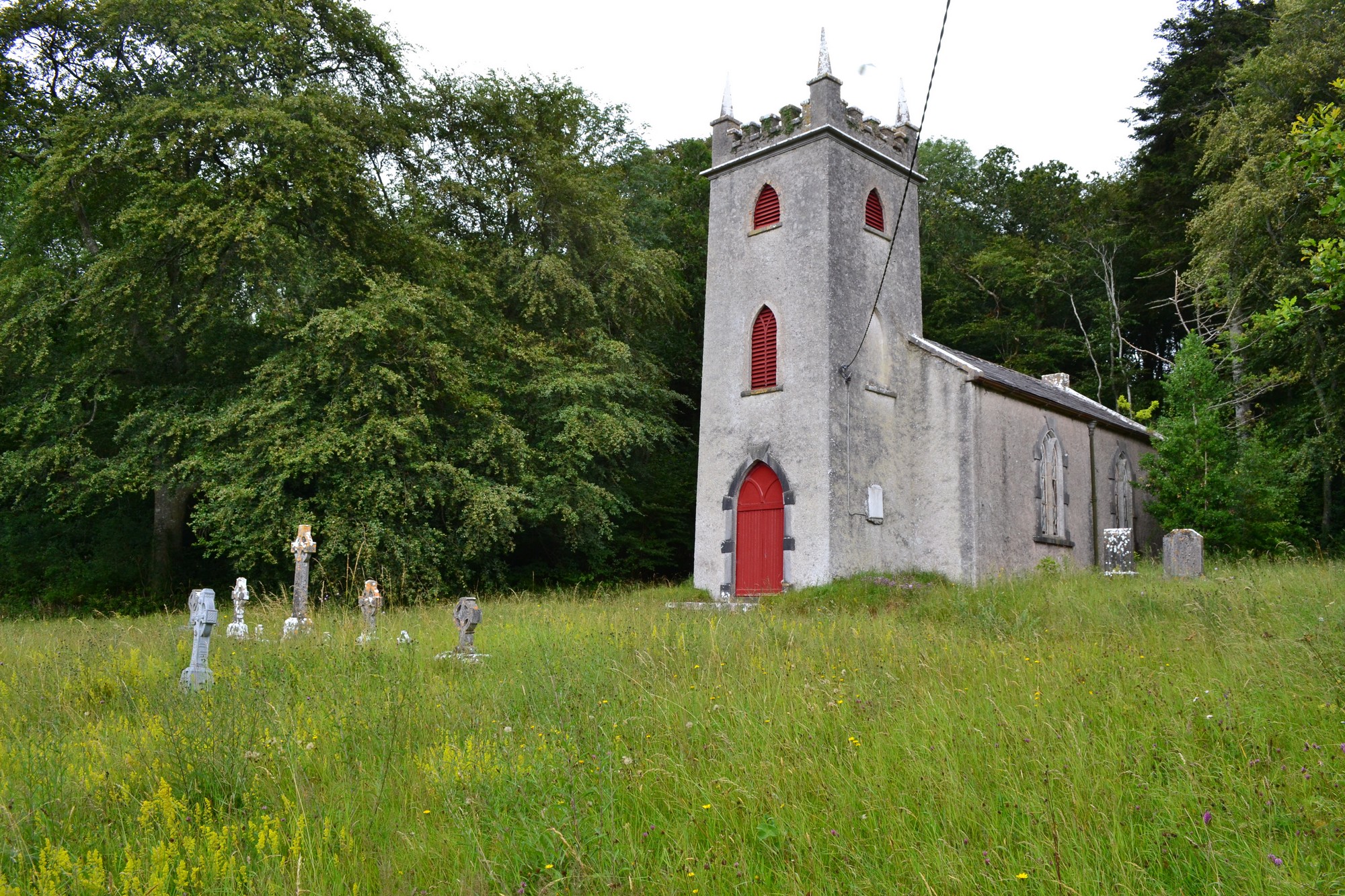
The graveyard is in rural area in farmland. North and east side surrounded by woodland.
Graveyard contains a Church of Ireland church dedicated to St Peter (built 1804), marked on 1841 OS map as 'Church'.
Graveyard contains headstones dating from 19th to 20th century; in relatively good condition, but overgrown; all upright, only a small number leaning slightly; some graves in southeast corner engulfed by trees. Unclear whether church is still in use.
Graveyard stone wall boundary in fair condition; slightly damaged on west and south sides; c. 1.5m high; one main gate (locked) and two pedestrian access points; main gate opens to mossy path, which is not leading to graves. Graveyard accessed from local road along laneway. Ground surface is somewhat uneven, mainly due to the high grass.