Register of Burials available:
Location of Published Local References:
Titles of Published Local References:
Sweetman, P.D., Alcock, O. & Moran, B. (1995) Archaeological inventory of County Laois. Dublin. Dublin Stationary Office, 89
Carrigan, W. (1905) The history and antiquities of the diocese of Ossory. Dublin. Sealy, Bryers & Walker, vol 2 150
Record of Monuments & Places, Co. Laois compiled by Caimin O'Brien (2007)
Feehan, J. (1983) 'Laois: an environmental history'. Peter Walsh-Kemmis, Ballykilcavan Press, 431
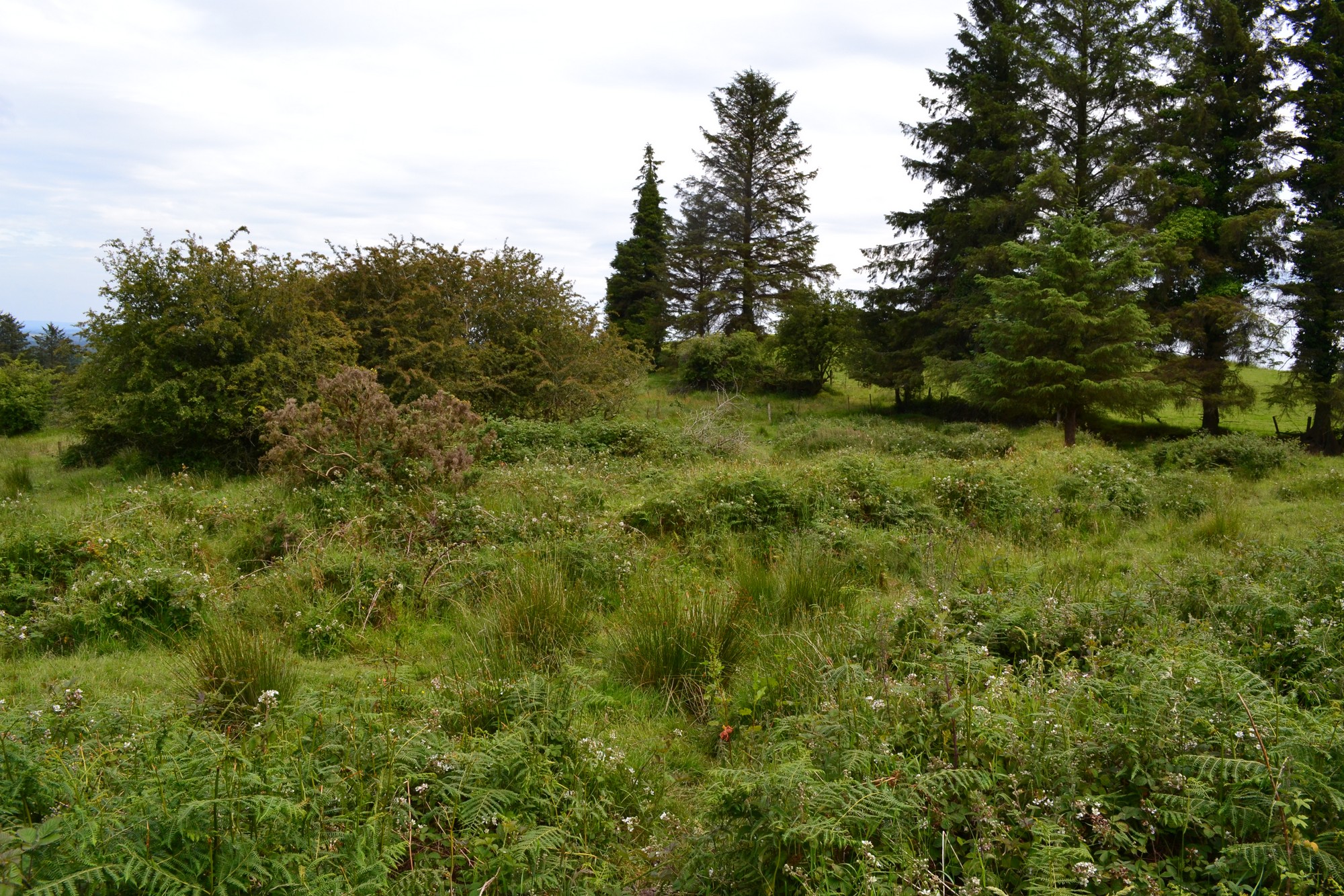


The graveyard is in rural area, surrounded by pasture land.
Site of graveyard contains no upstanding structures. Marked on 1909 OS map as 'Burial Ground (disused)'. Possible site of early church; no visible remains. Reference to holy tree and bullaun stone; no visible trace remains.
Site of graveyard contains a number of small uninscribed markers. Graveyard for burial of unbaptised children.
Graveyard defined by earthen stone-faced boundary. No paths; access to site across fields. Ground overgrown and neglected.