Register of Burials available:
Location of Published Local References:
Location of Inscriptions:
Titles of Published Local References:
Sweetman, P.D., Alcock, O. & Moran, B. (1995) Archaeological inventory of County Laois. Dublin. Dublin Stationary Office, 74
Comerford, Rev. M. (1886) Collections relating to the Dioceses of Kildare and Leighlin. Dublin, Duffy, 338
Record of Monuments & Places, Co. Laois compiled by Caimin O'Brien (2007)
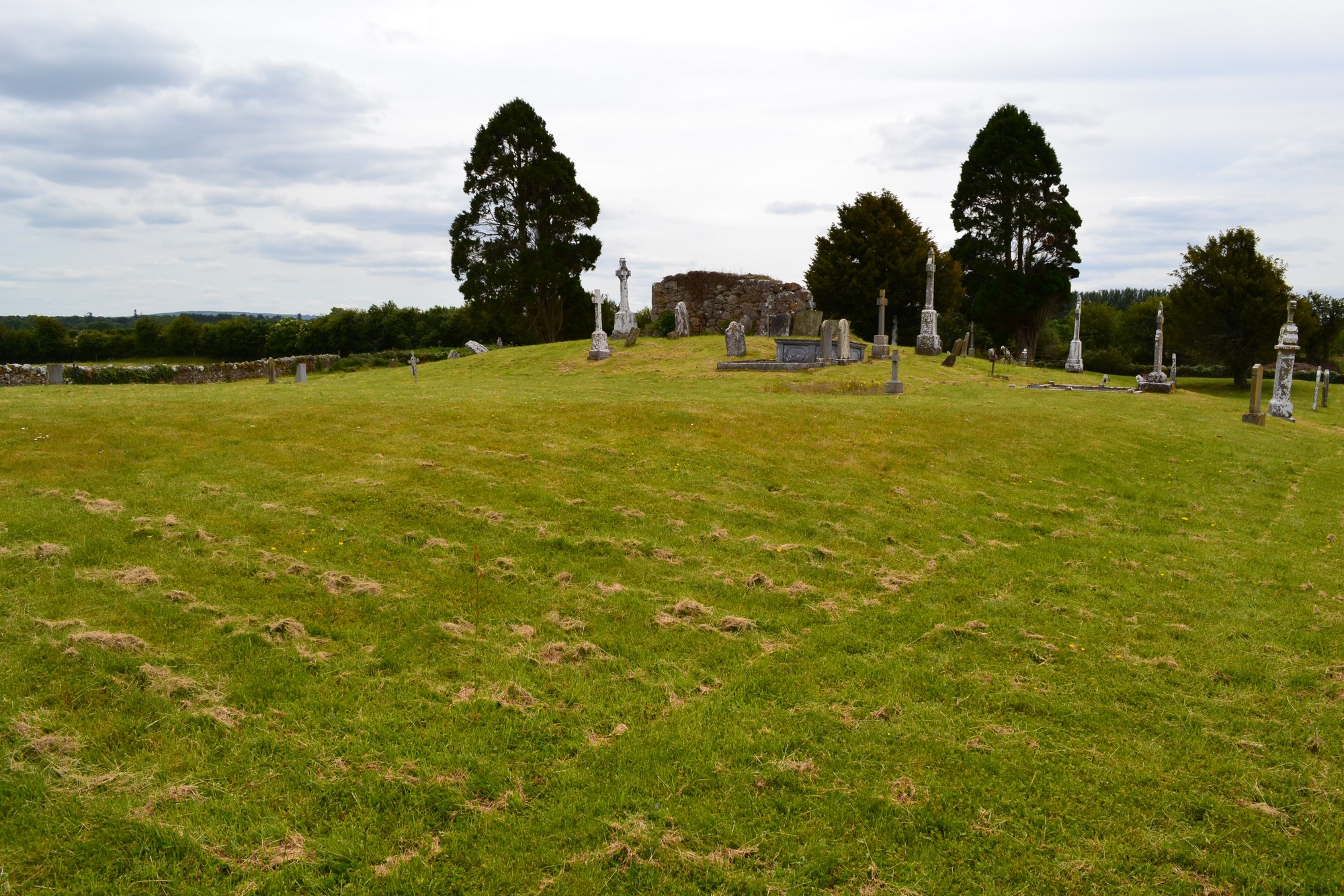


The graveyard is in rural area, surrounded by pasture land, adjacent to west bank of River Nore.
Graveyard contains ruins of medieval church, marked on 1841 OS map as 'Templeshankyle (in ruins)', east gable wall visible atop low rise in middle of graveyard. Local tradition of ancient tunnel running between graveyard and Aghaboe Abbey 8km to west.
Graveyard contains 18th to 20th century headstones; round headed, celtic cross style, metal crosses, altar tomb. Headstones mostly upright, in good condition, some leaning; a few 18th century headstones placed against gable wall and no longer in situ.
Graveyard has irregular shape; stone wall boundary intact c. 1m high with gate and stile. No paths; access via farmyard and through fields. Ground rises towards the middle of the graveyard; ground surface is higher by up to 1m within than without. Grass recently mown and grounds maintained.