Register of Burials available:
Location of Published Local References:
Titles of Published Local References:
Sweetman, P.D., Alcock, O. & Moran, B. (1995) Archaeological inventory of County Laois. Dublin. Dublin Stationary Office, 88
Carrigan, W. (1905) The history and antiquities of the diocese of Ossory. Dublin. Sealy, Bryers & Walker, vol 2 281
Record of Monuments & Places, Co. Laois compiled by Caimin O'Brien (2007)
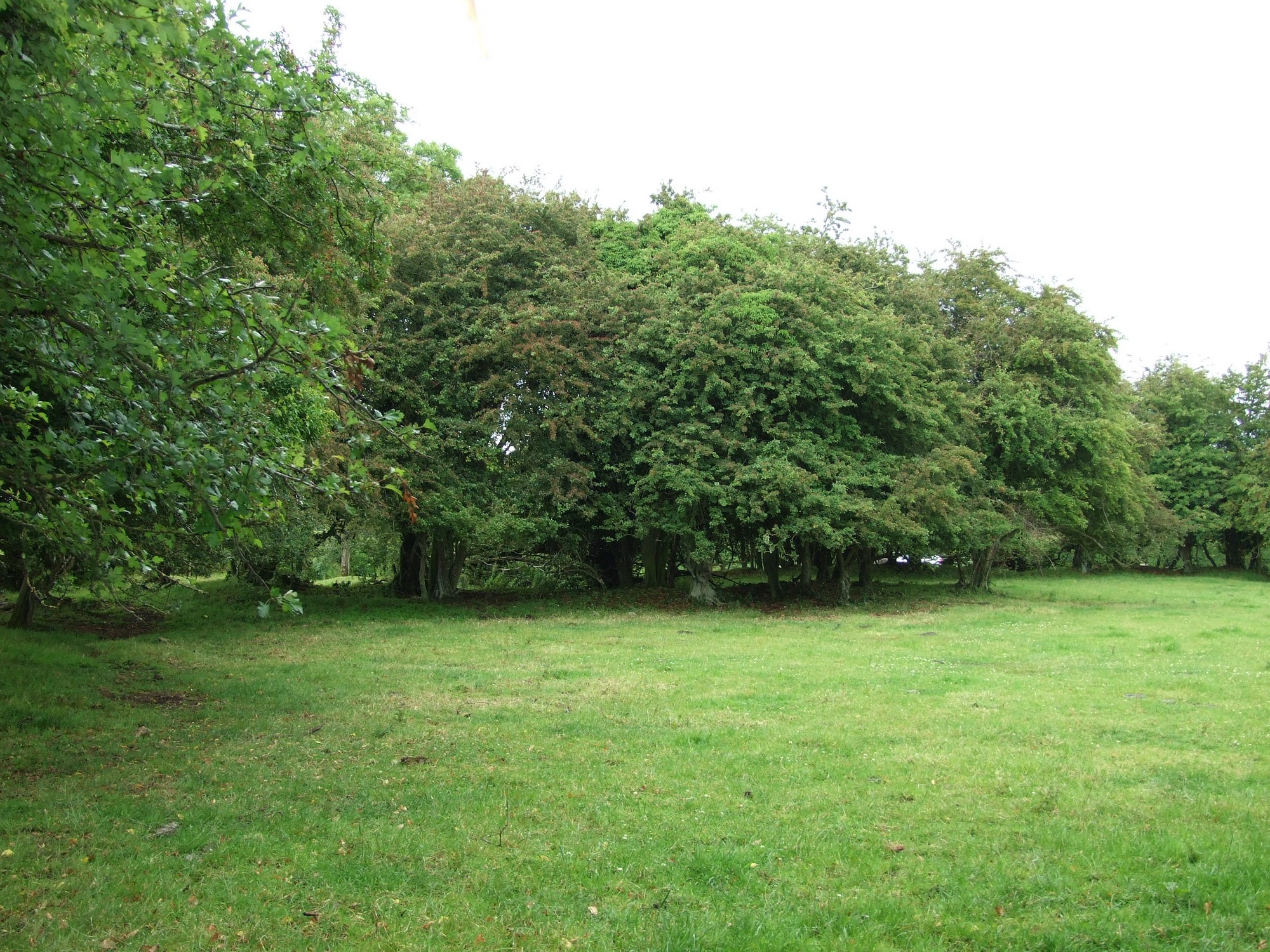


The graveyard is in rural area, surrounded by pasture land. Trees throughout the church site and along boundary.
Graveyard contains ruins of a church, marked on 1841 OS map as 'Site of R.C. Chapel' and on 1908 OS map as 'Kyleaderry Church (in ruins)'. Ruins simply consist of wall foundations of a rectangular undivided church; internal dimensions approx. 6m north-south and 15m east-west; walls approx. 1m thick and less than 1m high.
Site of graveyard contains no headstones or markers.
Graveyard has rectangular shape; measuring approx. 94m north-south by 52m east-west. Boundary made up of earth and stone bank with external fosse. Ground surface generally level.