Register of Burials available:
Location of Published Local References:
Laois County Library, Portlaoise, Co. Laois
Record of Monuments & Places (RMP), Archive Unit, National Monuments Service, Department of Housing, Local Government and Heritage, Custom House, Dublin, D01 W6X0. To make an appointment please contact the Archive either by telephone (01) 8883922 (from Ireland) / +353 1 8883922 (from outside Ireland) or by email nmarchive@housing.gov.ie.
https://www.archaeology.ie/archaeological-survey-ireland
Location of Inscriptions:
Titles of Published Local References:
Sweetman, P.D., Alcock, O. & Moran, B. (1995) Archaeological inventory of County Laois. Dublin. Dublin Stationary Office, 88
O'Hanlon, J. Rev. & O'Leary, E. Rev. (1907) History of the Queen's County. Sealy, Bryers and Walker, vol 1, 307
Record of Monuments & Places, Co. Laois compiled by Caimin O'Brien (2007)


The graveyard is in a rural area, accessed from a local road.
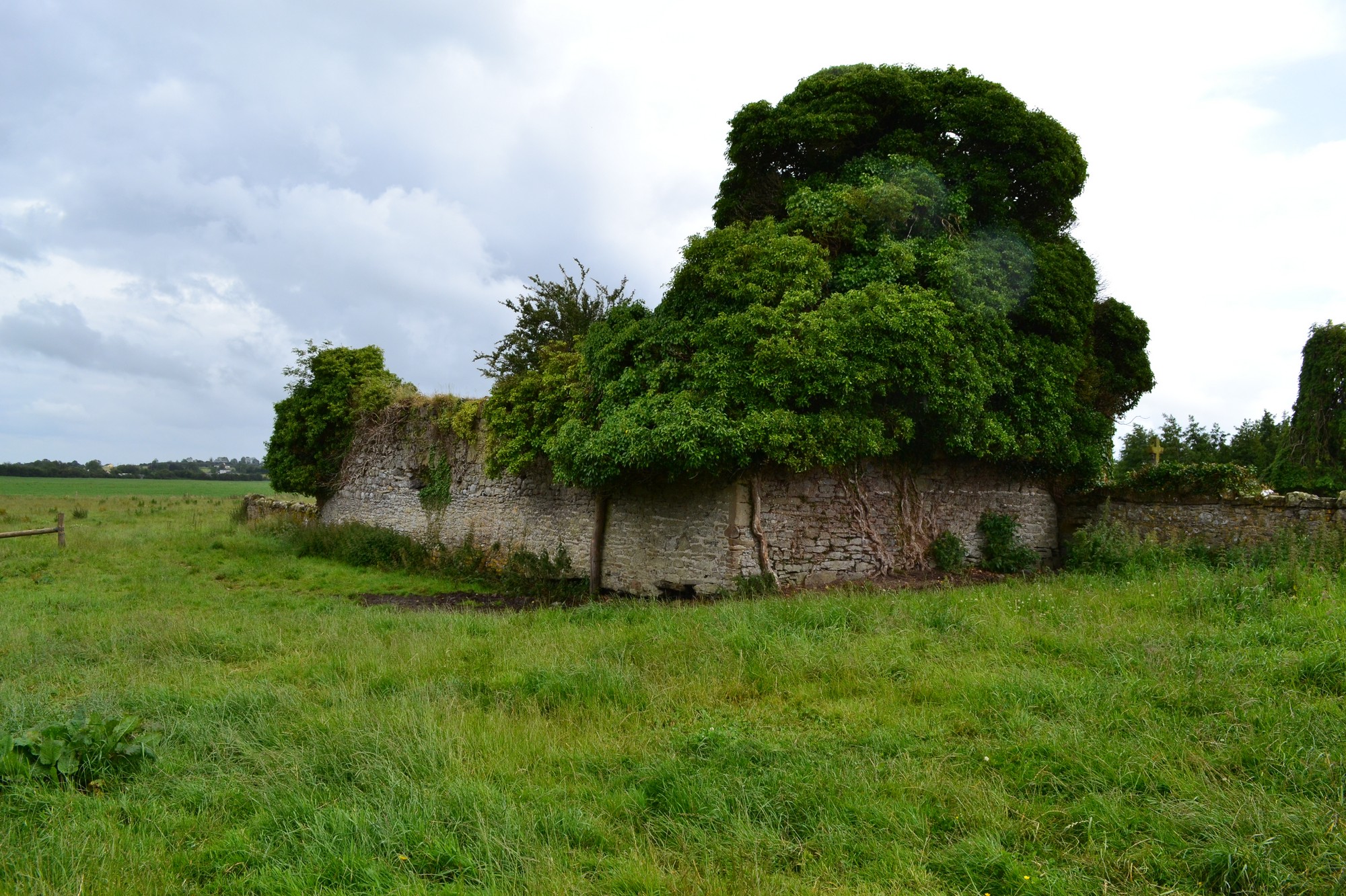
Graveyard contains ruins of medieval church, marked on 1841 OS map as 'Rearymore Church (in ruins) and Grave Yard'. Ruins simply consist of portion of west gable and north wall; three Early Christian cross-slabs were formerly located at the northwest angle of the church, now moved to Rosenallis RC Church.
Graveyard contains 18th to 20th century headstones and celtic style crosses; in varying conditions, some leaning or badly worn.
Graveyard has sub-rectangular shape measuring 69m north-south by 48m east-west; boundary stone wall intact, measures c. 1.5m high. No paths; access via gate and stile steps. Ground surface uneven.
A 1980s survey of mortuary monument inscriptions by Mr Ian Lee and pupils of Reary National School has been edited and uploaded to the Laois Co. Co. graveyards website by Niamh Denise Griffith https://laois.ie/wp-content/uploads/Rearymore-Cemetery-submission-for-La....