The graveyard is in rural area, adjacent to the town of Rathdowney. Marked on 1913 OS map as 'Cemetery'.
Graveyard contains headstones dating from 20th and 21st centuries; all upright.
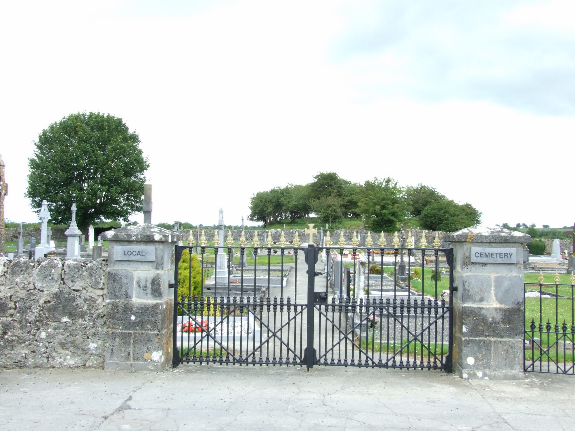
Graveyard has stone boundary wall; c. 1m high; intact. Two unlocked gates; several concrete paths; easy access from roadside. Ground surface sloping upwards to the northeast.


The graveyard is in rural area, adjacent to the town of Rathdowney. Marked on 1913 OS map as 'Cemetery'.
Graveyard contains headstones dating from 20th and 21st centuries; all upright.
Graveyard has stone boundary wall; c. 1m high; intact. Two unlocked gates; several concrete paths; easy access from roadside. Ground surface sloping upwards to the northeast.