Sweetman, P.D., Alcock, O. & Moran, B. (1995) Archaeological inventory of County Laois. Dublin. Dublin Stationary Office, 84
Gwynn, A. & Hadcock , R.N. (1970) Medieval religious houses of Ireland, Harlow, Longmans, 369
FitzGerald, Lord W. (1904) 'The history and antiquities of the Queen's County barony of Portnahinch. Part I'. Journal of County Kildare Archaeological Society, Vol 4, No. 3, 184-229
Record of Monuments & Places, Co. Laois compiled by Caimin O'Brien (2007)
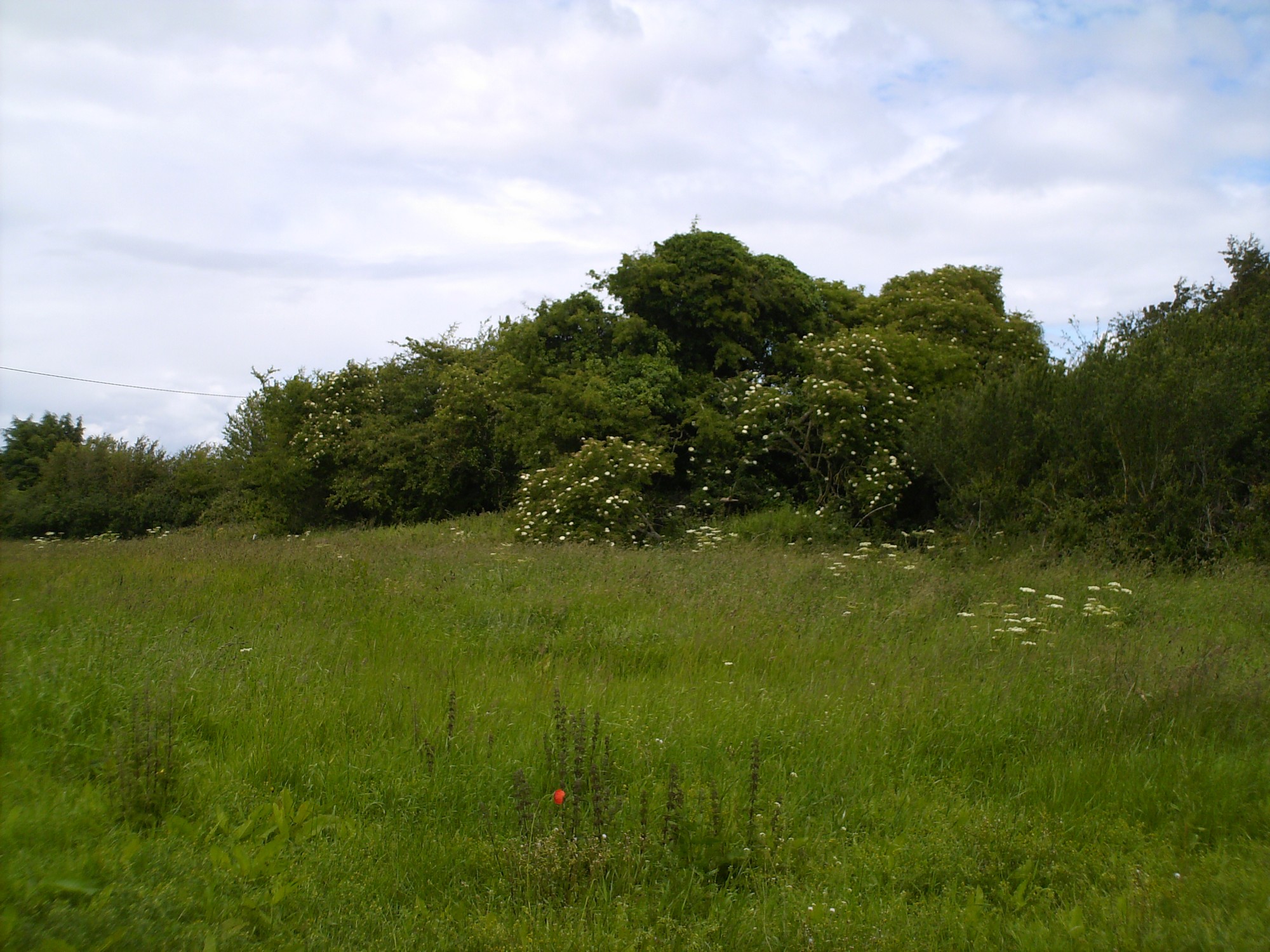


The graveyard is in rural area, surrounded by pasture fields.
Graveyard contains ruins of medieval church marked on 1841 OS map as 'Friary (in ruins)'; an unclassified monastic establishment, known also as' Triogue'. Ruins overgrown, visibly consist of east gable, foundations of other walls and an attached vaulted building to south.
Graveyard contains no headstones or markers.
Graveyard has rectangular shape; boundary defined by hedgerow and modern fencing. No paths; access to site across field. No visible surface trace of graveyard.