Sweetman, P.D., Alcock, O. & Moran, B. (1995) Archaeological inventory of County Laois. Dublin. Dublin Stationary Office, 82
O'Hanlon, J. Rev. & O'Leary, E. Rev. (1907) History of the Queen's County. Sealy, Bryers and Walker, vol 1 235
O'Byrne, D. (1856) 'The history of the Queen's county: containing an historical and traditional account of its foundries, duns, and other antiquities, also an account of some noble families of English extraction'. Dublin, John O'Daly, 50-1
Record of Monuments & Places, Co. Laois compiled by Caimin O'Brien (2007)
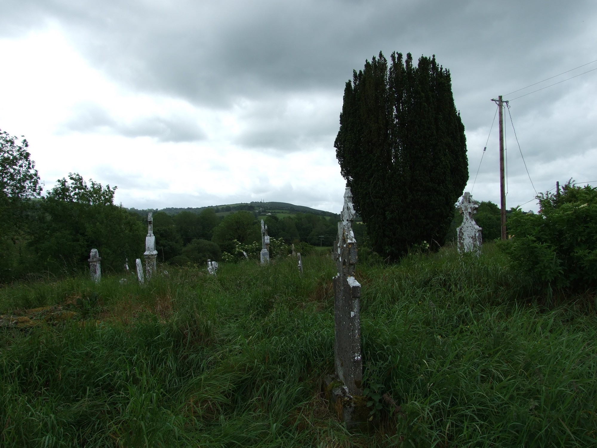


The graveyard is in rural area, surrounded by pasture land, on west bank of Owenbeg River.
Graveyard contains ruins of medieval church marked on 1841 OS map as 'Kilcronan Church (in ruins)'. Site of monastery associated with St Cronan. Ruins very fragmentary, consist simply of parts of west gable and south wall.
Graveyard visibly contains 19th and 20th century headstones, crosses and recumbent slabs; most in reasonable condition, with some leaning, collapsed, damaged or disturbed by vegetation.
Graveyard has sub-triangular shape; boundary stone wall, intact, measures c. 1m high. Some grass trampled paths; access via gate and stile from roadside. Ground surface uneven due to concealed features. Ground not maintained.