Laois,
Ireland
Coordinates: 53.032000, -7.101000
Summary
Graveyard Code:
LA-CRCN
RMP/Site number:
LA014-035002; LA014-035004
Townland:
Curraclone
County:
Description
Project:

Coordinates: 53.032000, -7.101000

![]()
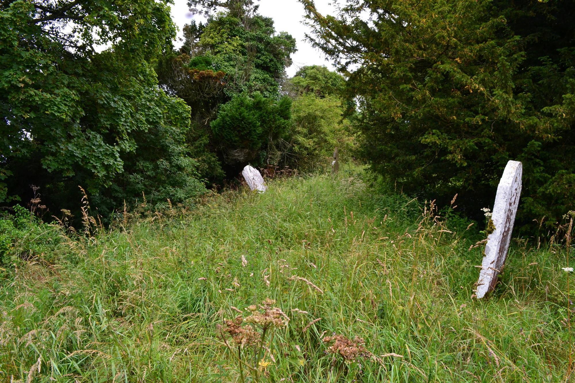
The graveyard is in rural area, surrounded by pasture land.
Graveyard contains ruins of medieval church. Marked on 1841 OS map as 'Church (site of)' and on 1908 OS map as 'Church (in ruins)'. Ruins very overgrown; west gable and south and north walls partially visible. Possible site of earlier church; remains of earthen bank to north may be part of early ecclesiastical enclosure.
Graveyard very overgrown; 19th and 20th century headstones visible, mostly in poor condition, either leaning, collapsed or damaged. Some recumbent slabs and table tombs illegible; may date to 18th century. Family vault (Walshe) marked on 1841 and 1908 OS maps.
Graveyard has irregular shape; boundary stone wall very overgrown, where visible c. 1m high. Access via gate and stile from roadside. No paths. Ground surface overgrown. Ground neglected and derelict.