Laois,
Ireland
Coordinates: 52.979000, -7.232000
Summary
Graveyard Code:
LA-CRMG
RMP/Site number:
LA018-021002; LA018-021003
Townland:
Cremorgan
County:
Description
Project:

Coordinates: 52.979000, -7.232000

![]()
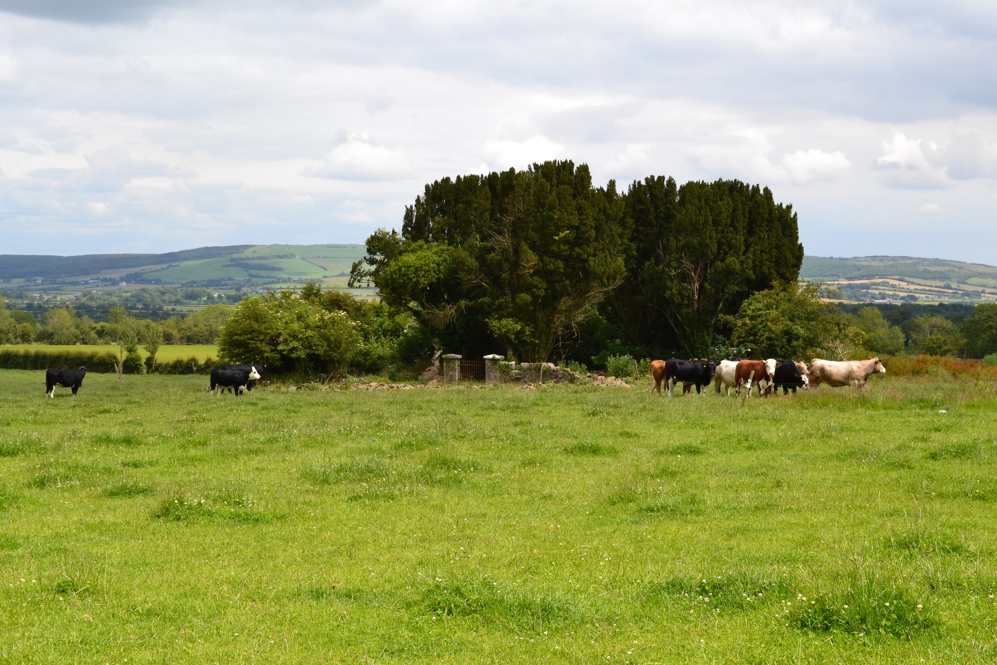
The graveyard is in rural area, within pasture land.
Graveyard contains ruins of medieval church. Marked on 1841 OS map as 'Church (in ruins)'. Ruins overgrown and consist of nave and chancel measuring c. 14m by 8m. Church site associated with St Colman.
Graveyard is very overgrown with only few visible upstanding headstones. Church ruins contain a number of 18th to 19th century table tombs and recumbent slabs; generally in poor or damaged condition. Noted as burial place of O'Moores of Cremorgan.
Graveyard has sub-rectangular shape; boundary stone wall c. 1-1.5m high, collapsed in one location. Access via laneway across field. No paths; ground surface overgrown; ground level higher within graveyard than without. Church interior kept clear of vegetation by landowner; ground overgrown and neglected.