Register of Burials available:
Location of Published Local References:
Titles of Published Local References:
Sweetman, P.D., Alcock, O. & Moran, B. (1995) Archaeological inventory of County Laois. Dublin. Dublin Stationary Office, 75
Carrigan, W. (1905) The history and antiquities of the diocese of Ossory. Dublin. Sealy, Bryers & Walker, vol 2 179
Record of Monuments & Places, Co. Laois compiled by Caimin O'Brien (2007)
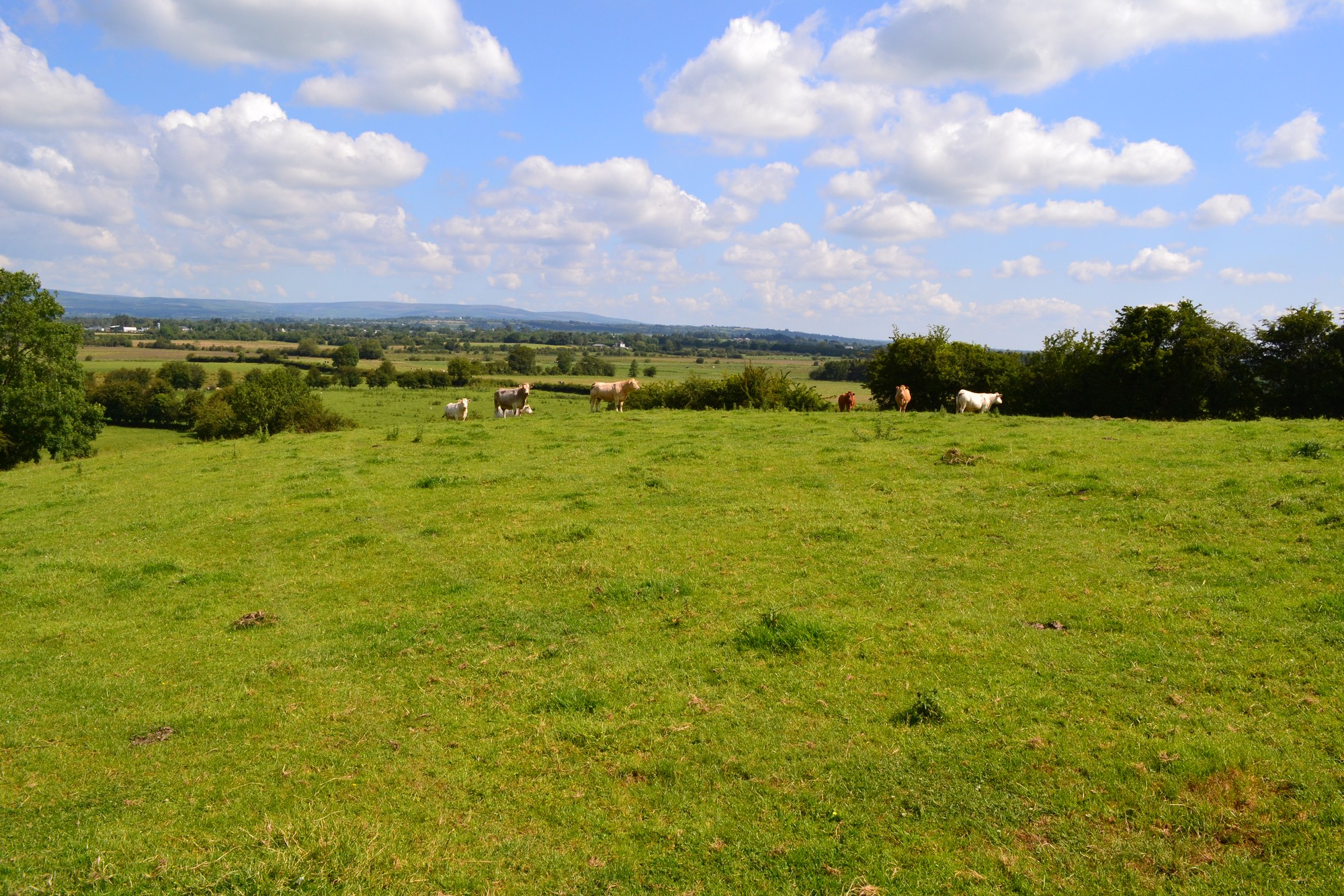


The graveyard is in rural area, surrounded by undulating pasture land, adjacent to farmhouse.
Graveyard contains no upstanding structures. Possible site of medieval church of St Garadh; however no visible trace exists. Graveyard enclosure marked but not named on 1841 OS map. A bullaun stone was identified in 19th century but no visible surface trace remains.
Graveyard contains no visible headstones or markers; used until late 18th century.
Graveyard has no upstanding visible boundaries; no paths; access across fields.