Register of Burials available:
Location of Published Local References:
Location of Inscriptions:
Titles of Published Local References:
Comerford, Rev. M. (1886) Collections relating to the Dioceses of Kildare and Leighlin. Dublin, Duffy, 137
Record of Monuments & Places, Co. Laois compiled by Caimin O'Brien (2007)
Feehan, J. (1983) 'Laois: an environmental history'. Peter Walsh-Kemmis, Ballykilcavan Press, 431
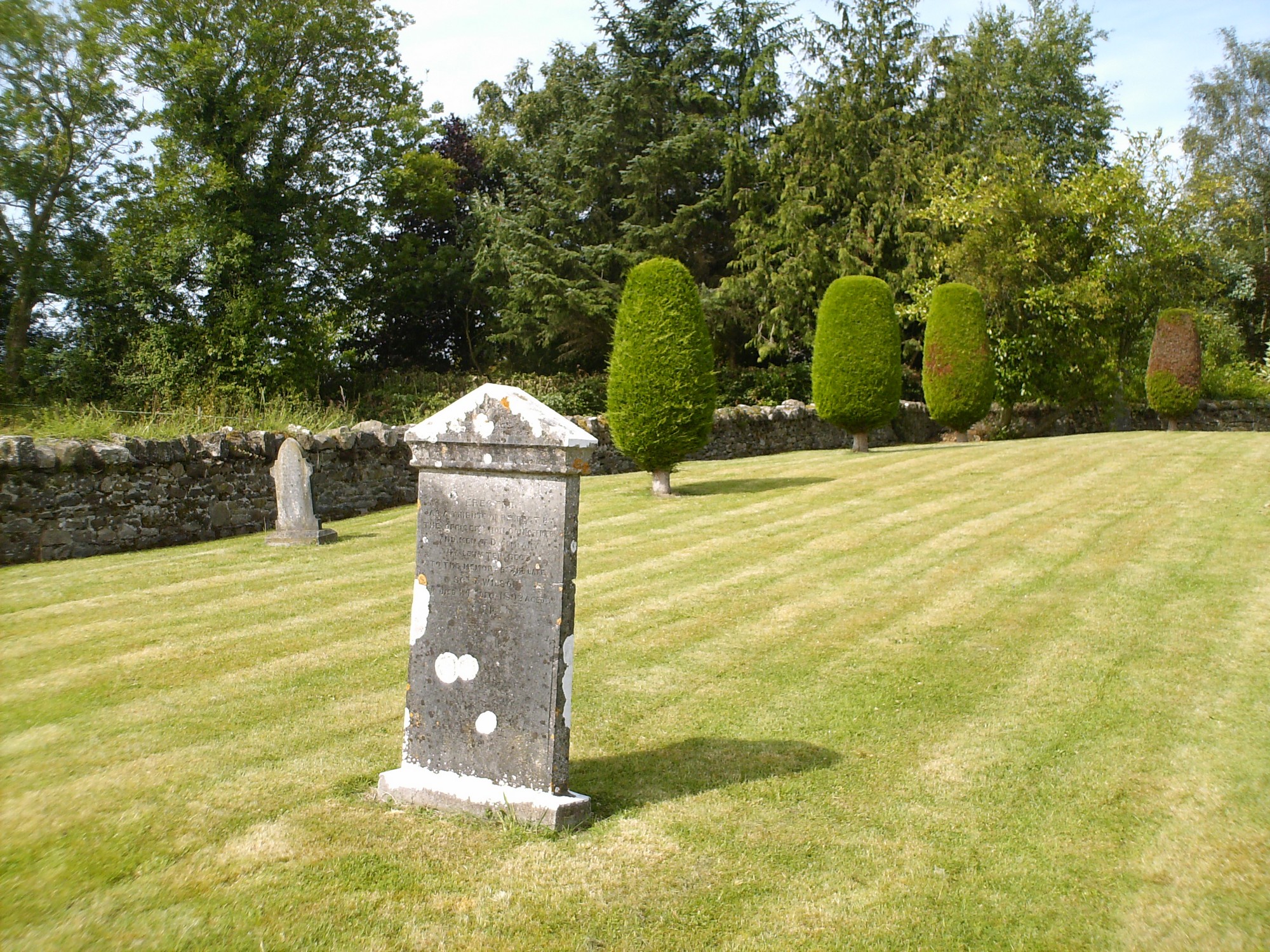


The graveyard is in rural area, surrounded by pasture land, west of town of Portlaoise.
Graveyard contains no ruins or structural remains, marked on 1841 OS map as 'Graveyard'.
Graveyard contains several 18th to 20th century headstones, in good condition; upright and recumbent slabs. Local tradition associates graveyard with workhouse during 19th century famine, however OS map evidence shows that graveyard predates this. Local tradition of numerous infant and child remains uncovered during clean up in 1980's; subsequently reburied.
Graveyard has rectangular shape; stone wall boundary intact, c. 1m high. Access from roadside through gate and stile. Ground level and no paths; ground surface higher within boundary than without. Grass recently mown and grounds well maintained.