Register of Burials available:
Location of Published Local References:
Titles of Published Local References:
Sweetman, P.D., Alcock, O. & Moran, B. (1995) Archaeological inventory of County Laois. Dublin. Dublin Stationary Office, 74
Carrigan, W. (1905) The history and antiquities of the diocese of Ossory. Dublin. Sealy, Bryers & Walker, vol 2 282
Record of Monuments & Places, Co. Laois compiled by Caimin O'Brien (2007)


The graveyard site is in rural area, in middle of pasture land, access through fields.
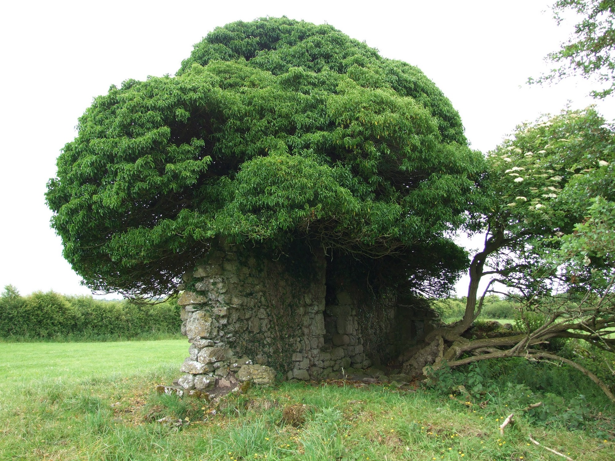
Graveyard contains ruins of medieval church, marked on 1841 OS map as 'Church (in ruins)', east and west gables upstanding; measures approximately 13m by 8m. Possible ecclesiastical enclosure marked on 1906 OS map as 'The Sconces'; however little surface trace survives.
Graveyard contains no headstones or markers.
Graveyard has no upstanding boundary. No paths or access laneway. Access across pasture fields.